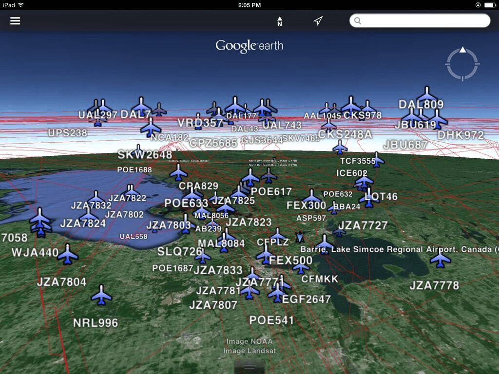
Exporting OGN demo site Data
On the search page there is a option to 'export' the search results in over 10 different formats. Most of these formats are industry standards, while a few have lesser adaption but could still have certain use cases.
Supported Formats
- CSV (Comma-Separated values): stores tabular data in plain-text form. Can be opened in most Office programs such as Microsoft Office, OpenOffice etc.
- RSS (Rich Site Summary): standard web feed formats to publish frequently updated information. Can be opened in any RSS reader.
- GeoRSS: is an emerging standard for encoding location as part of a Web feed.
- XML (Extensible Markup Language): is a markup language that defines a set of rules for encoding documents in a format that is both human-readable and machine-readable. Almost any programming languages have the ability to parse XML documents.
- JSON (JavaScript Object Notation): is an open standard format that uses human-readable text to transmit data objects consisting of attribute–value pairs. It is used primarily to transmit data between a server and web application, as an alternative to XML.
- GeoJSON: is an open standard format for encoding collections of simple geographical features along with their non-spatial attributes using JavaScript Object Notation.
- YAML (Yet Another Markup Language): is a human-readable data serialization format that takes concepts from programming languages such as C, Perl, and Python.
- PHP (serialized array): Generates a storable representation of a value, for primary use of the PHP programming language.
- KML (Keyhole Markup Language): is an XML notation for expressing geographic annotation and visualization within Internet-based, two-dimensional maps and three-dimensional Earth browsers. Most commonly used for Google Earth but can be imported in most geo visualization software.
- GPX (GPS Exchange Format): is an XML schema designed as a common GPS data format for software applications.
- WKT (Well-known text): is a text markup language for representing vector geometry objects on a map, spatial reference systems of spatial objects and transformations between spatial reference systems.
Geospatial Data
As seen above, some of the export formats can be used for Geospatial analysis. For those formats, they include the location of the aircraft when it first entered the coverage area as well as the entire planned flight route. In addition, some of the geospatial formats also take into consideration the altitude when the aircraft flew over the coverage area, allowing for a three-dimensional geospatial analysis of air traffic.

Data License
The data published by OGN demo site is made available under the Open Database License: http://opendatacommons.org/licenses/odbl/1.0/. Any rights in individual contents of the database are licensed under the Database Contents License: http://opendatacommons.org/licenses/dbcl/1.0/ - See more at: http://opendatacommons.org/licenses/odbl/#sthash.3wkOS6zA.dpuf
